Cross Country and Mountain Skiing
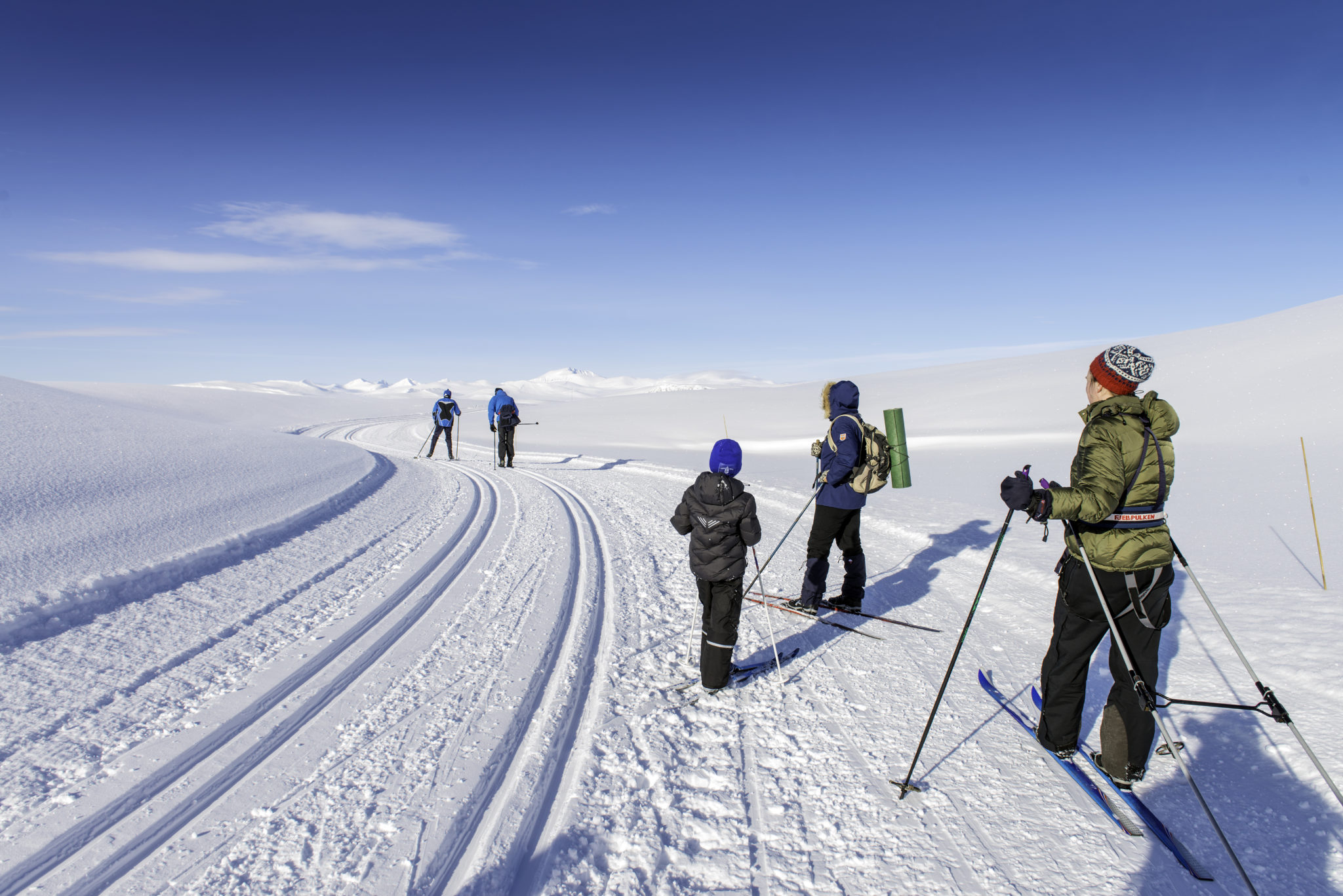
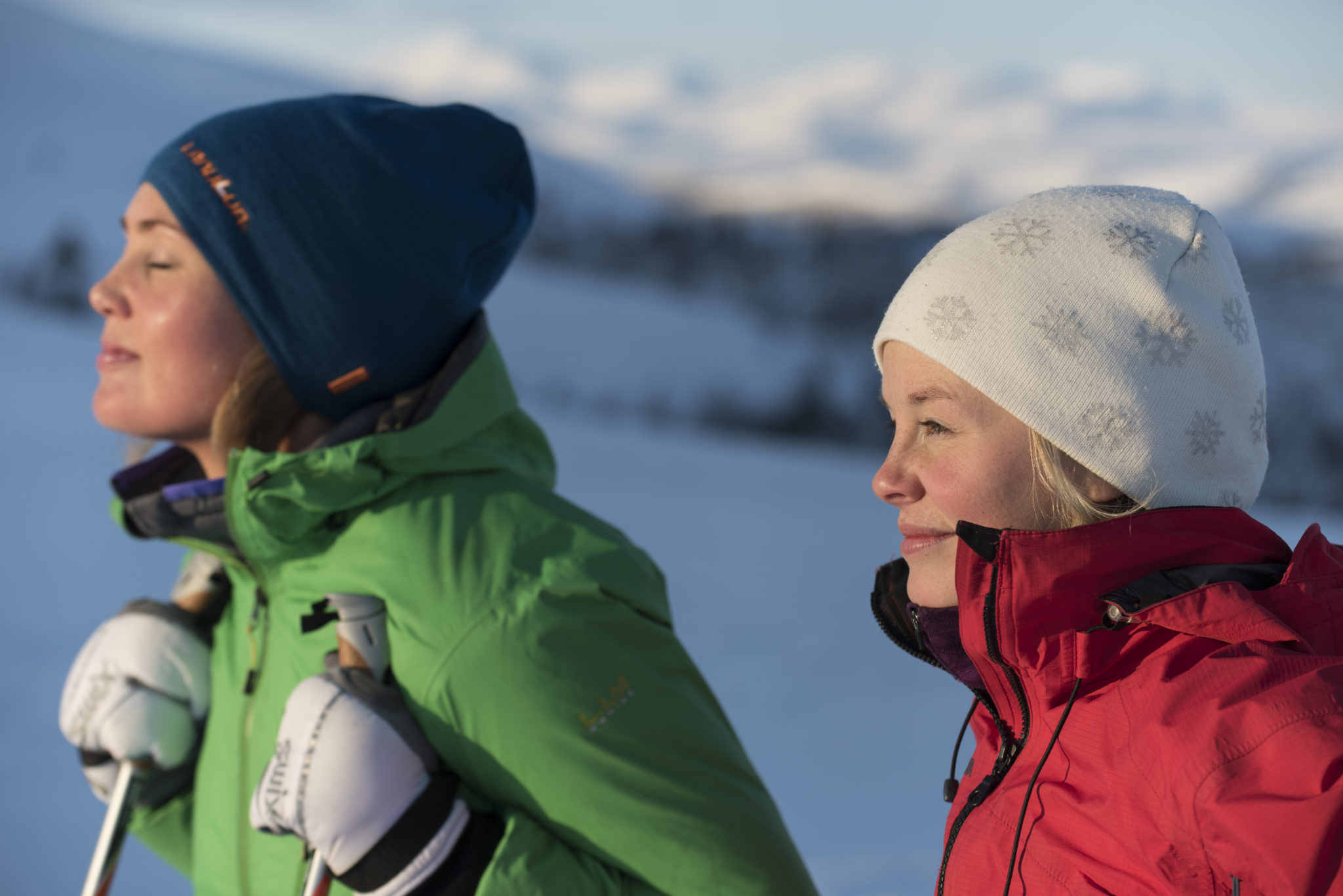
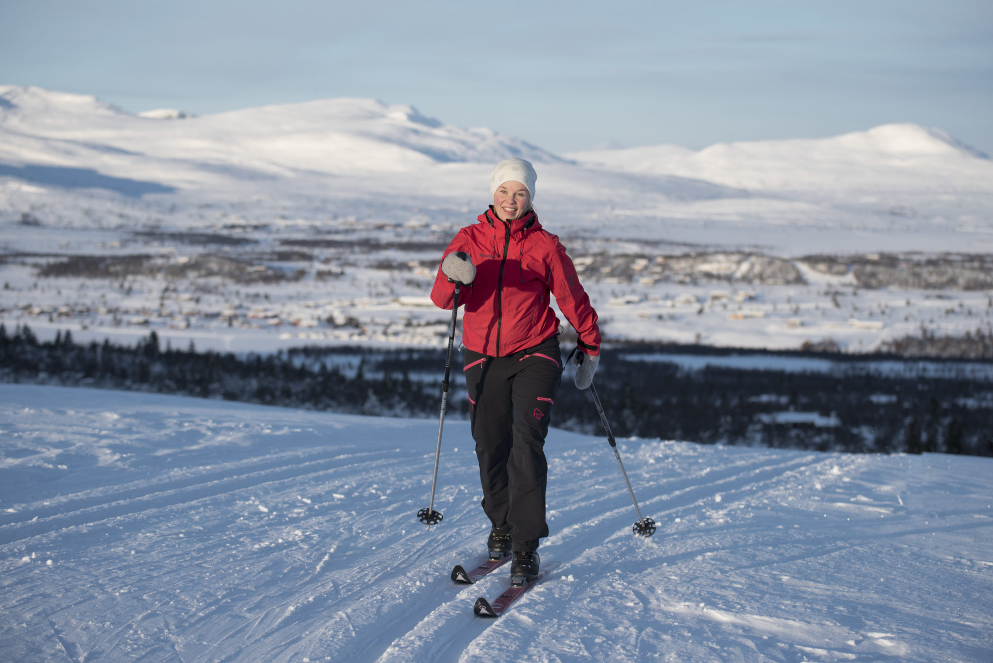
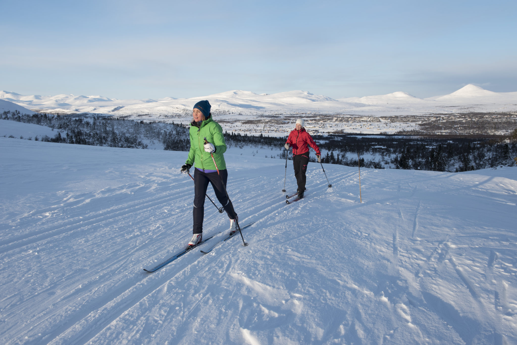
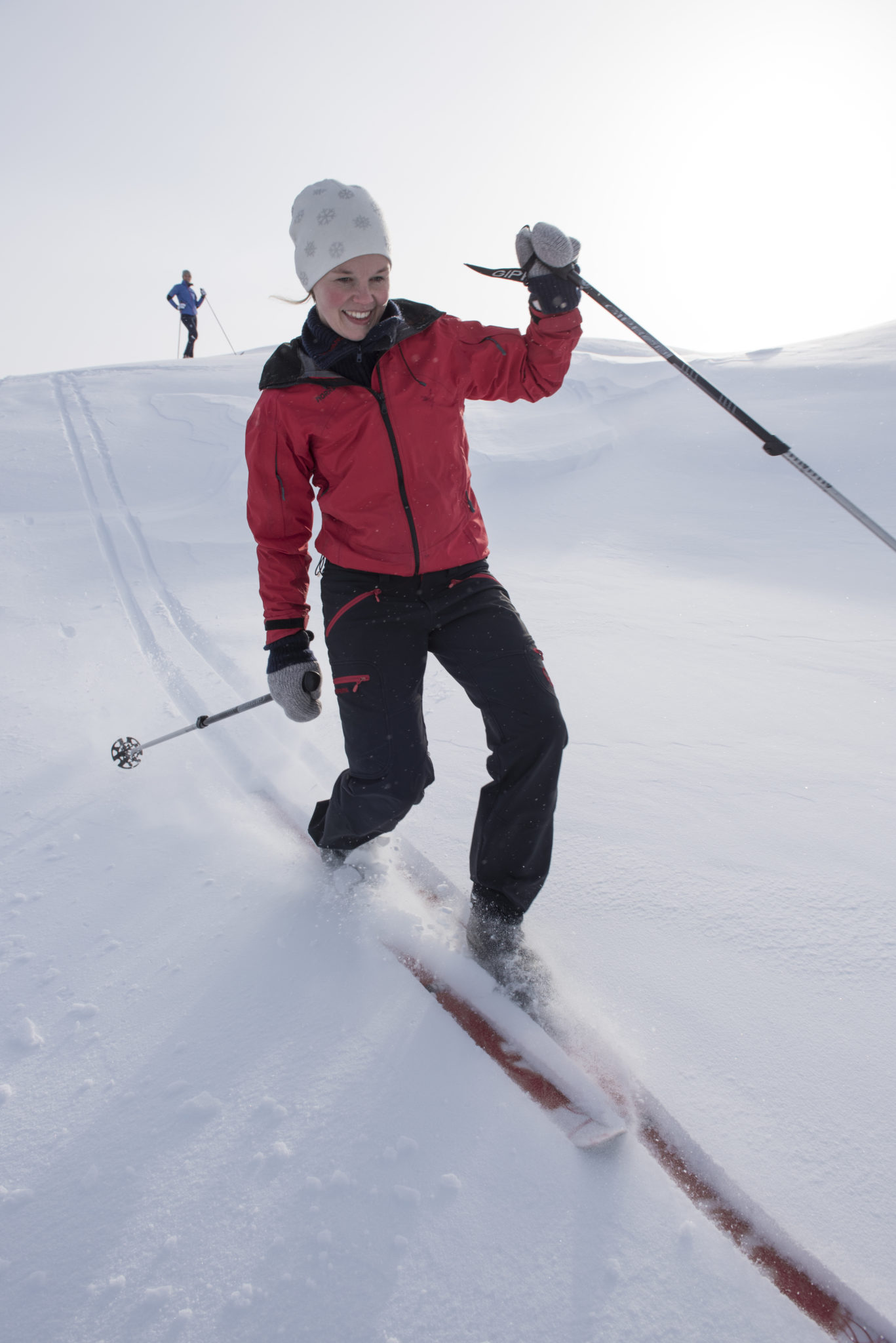
Venabygdsfjellet has a uniquely varied ski trail area in the beautiful natural surroundings to the south of the Rondane National Park. It’s possible to combine ski tours in both the open mountain landscapes and the sheltered birch forest. The area is suitable for those who enjoy the prepared trails (løypa) or those who like to explore the mountains without them. Once tried, you’ll be sure to return!
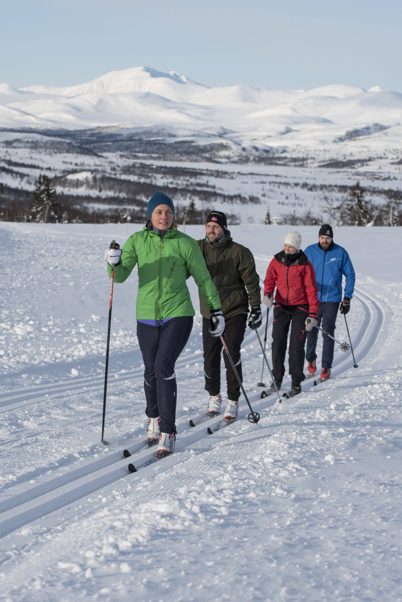
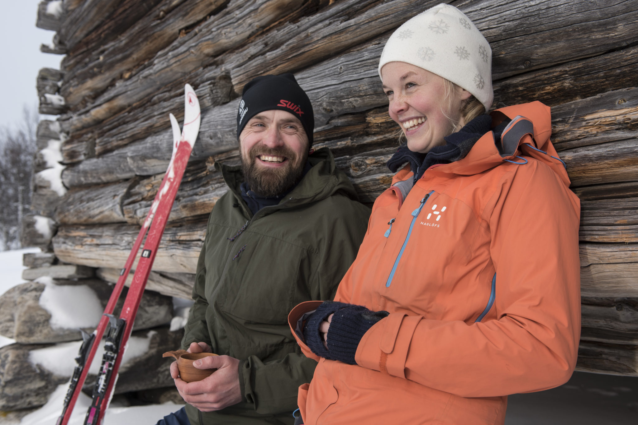
Guided Tours, Cross Country Ski Lessons, Ski Hire
Venabu Fjellhotell runs a full programme of cross country ski holidays, snowshoe tours and cross country ski lessons, to suit all levels of skier, from beginners to experienced skiers. Later in the season, as the days get longer, they offer an off track nordic ski holiday and off track nordic ski tours for more experienced skiers who want to explore the mountains beyond the trail network. For skiers who enjoy learning, and would like to develop their skiing, Venabu now offers an innovative ski skills course to help you Become a Better Skier.
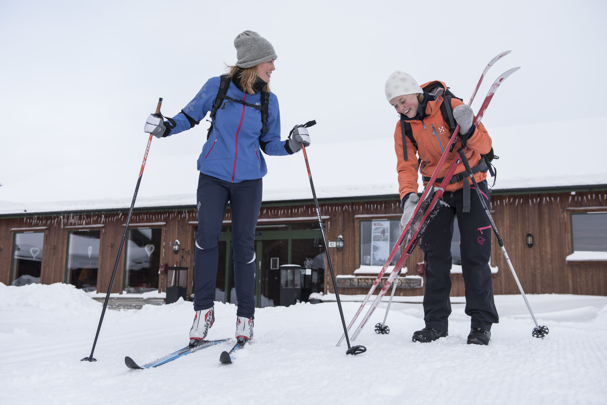
Hiring mountain skis
Spidsbergseter Resort Rondane has new, modern skis for hire. Their ski room has been described as “Norway’s cosiest” and includes an open fire and warm drinks. There is also an activities leader who can help with hire of both skis, boots & sticks as well as snowshoes, “pulks” and sledging equipement
Venabu Fjellhotell also offers high quality cross country ski rental and expert advice on ski equipment and ski servicing, along with snowshoe hire.
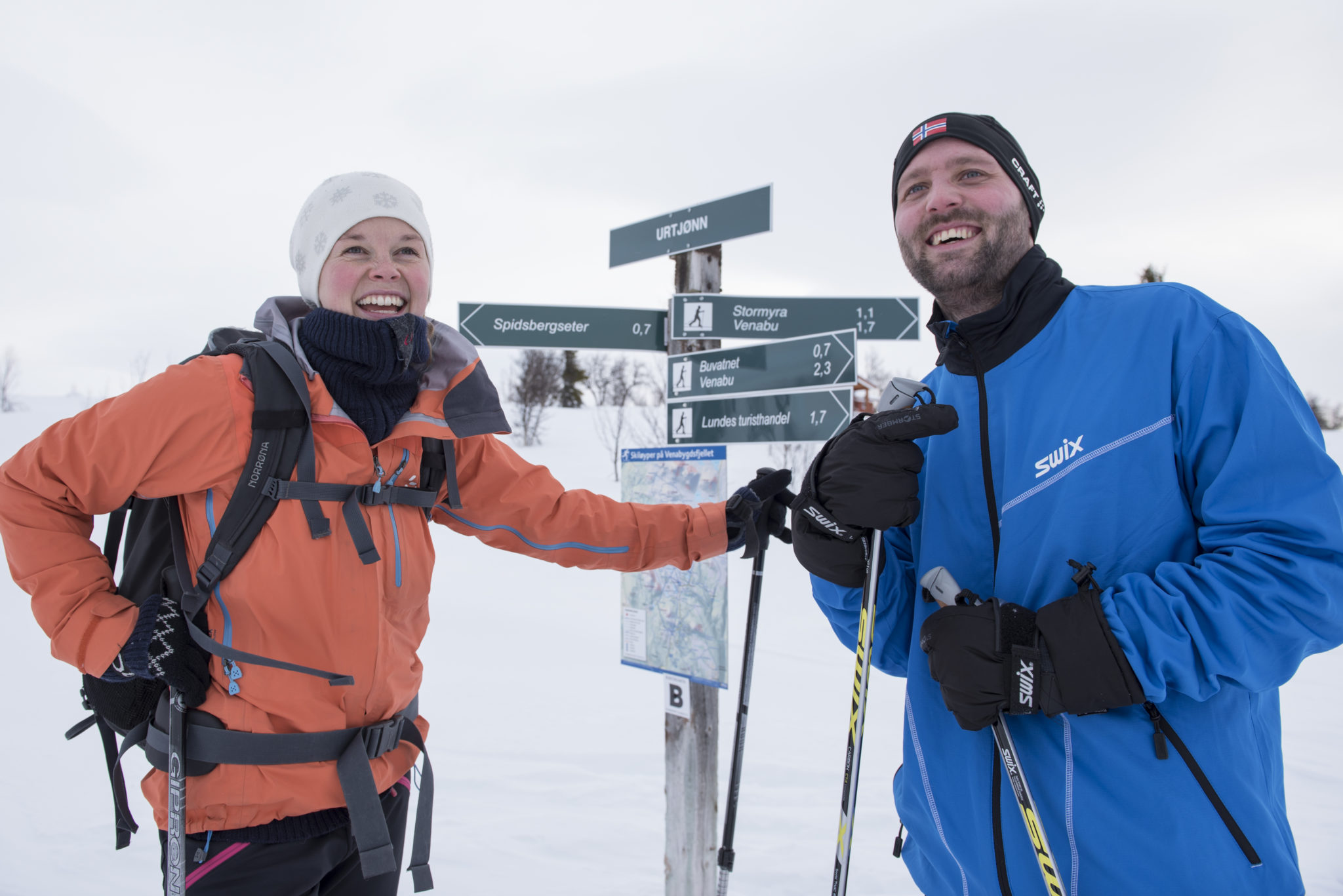
Daily Ski Trail advice
If you want advice about the best trail to take on any day, why not visit the løyper.net website which shows which trails have been freshly prepared. Or call in at one of the businesses who will be more than happy to offer advice!
Popular cross country trips at Venabygdsfjellet:
Dynjefjell
Length:
10–14 km depending on start location
Map:
Se kart over Dynjefjell-løypa
Varied trail in both birch forest and open plateau. You can take this trip from any of the hotels and cabins. Waypoints include Nausterhaugen and then around Dynjefjell via Fjellmillom, returning via Lundtjønn and Granhaugen.
Forbundsfjell
Length:
About 7 km round trip from Venastul
Map:
Se map of Forbundsfjell-løypa
Trail goes over the summit of Forbundsfjellet and the rewards are excellent views. The terrain includes one steep ascent/descent and is mostly in the birsh forest.
Fremre Uksan
Length
About 10–14 km depending on start location.
Map:
See map of Fremre Uksan-løypa
Lovely trail in the open mountains with some steep climbs and descents. Trail goes via following waypoints: Øygardseter – Bøllia – Fremre Uksan – Dørhøgda – Kvanndalen – Flaksjøen and return to Spidsbergseter, Venabu or Lundes. Gentle climb from Bøllia, then steep towards Dørhøgda before nice descent from there. A bit trickier descent through Kvanndalen to Flaksjøen then flat terrain to return.
Indre Uksan
Length:
Trail is about 12 km from Spidsbegseter and can be made shorter or longer.
Map:
See map of Indre Uksan-løypa
This is a trail which ventures into the National Park. It’s a sheltered ascent through Kvanndalen from the lake at Flaksjoen. The view appears quite spectacularly at the top, maybe you’ll even see some reindeer. At Dørhøgda, take the trail left to Indre Uksan and return via Fremre Uksan – Bøllia – Øygardseter.
The trail crosses no roads or open streams and is a great trail in untouched nature. Some lovely downhill sections in well prepared trails.
Kyrkjegardsfjell
Length:
About 6 km for the trail around, more to get there.
Map:
See mapt of Kyrkjegardsfjell-løypa
Sheltered trail in the forest with mostly undulating terrain. Start from the top of Langbakken.
Svartfjell rundt
Length:
About 10–14 km depending on start location
Map:
See map of Svartfjell rundt-løypa
Fantastic trail, but requires good technique. The trail includes part birch forest, art open mountain and includes good views of Rondane mountains. Go via the waypoint at Nausterhaugen and around the mountain via Fjellmillom. Steep uphill from Fjellmillom. The descent from the summit is steep down to Flaksjoen but fun for experienced skiers.
Trabelifjell
Length:
Trail around Trabelia is about 10km, but can be extended with other routes.
Map:
See map of Trabelifjell-løypa
Starting at Lundes, the trail goes via the following waypoints: Granhaugen – Lundtjønn – Svarttippa – Rauhaugen – Trabelia and returns via Langbakken –Rondevegen.
At Trabelia you have a choice to go steeply up and down over the Trabelia summit or cross the road and go around it.
Varied and fun terrain with great trails. For the most part in sheltered forest, which after snowfall will see you looking for trolls round every corner.
Trimløypa
Length:
6 km circuit
Map:
See map of Trimløypa
Start at Venabu. The trail is sheltered by the birch forest and is perfect for a windy day. Cross the road to Myvegen and then right at Myåsen. Gentle terrain to Moaseter and return to Venabu crossing the road.
Trolløypa to Øksendalen
Length:
25 km
Map:
See map of Trolløypa to Øksendalen
This trail goes through open mountain terrain. Cross the road at Øygardseter or Saltashaugen and follow the signposts to Øksendalen.
If you wish to be collected at the other end, contact one of the hotels or cabin owners.
If you’re up for a real expedition, then it is possible to ski the full length of the Troll løypa trails from Høvringen to Lillehammer. Read more about a package tour with Discover Norway here.
Welcome to Venabygdsfjellet!
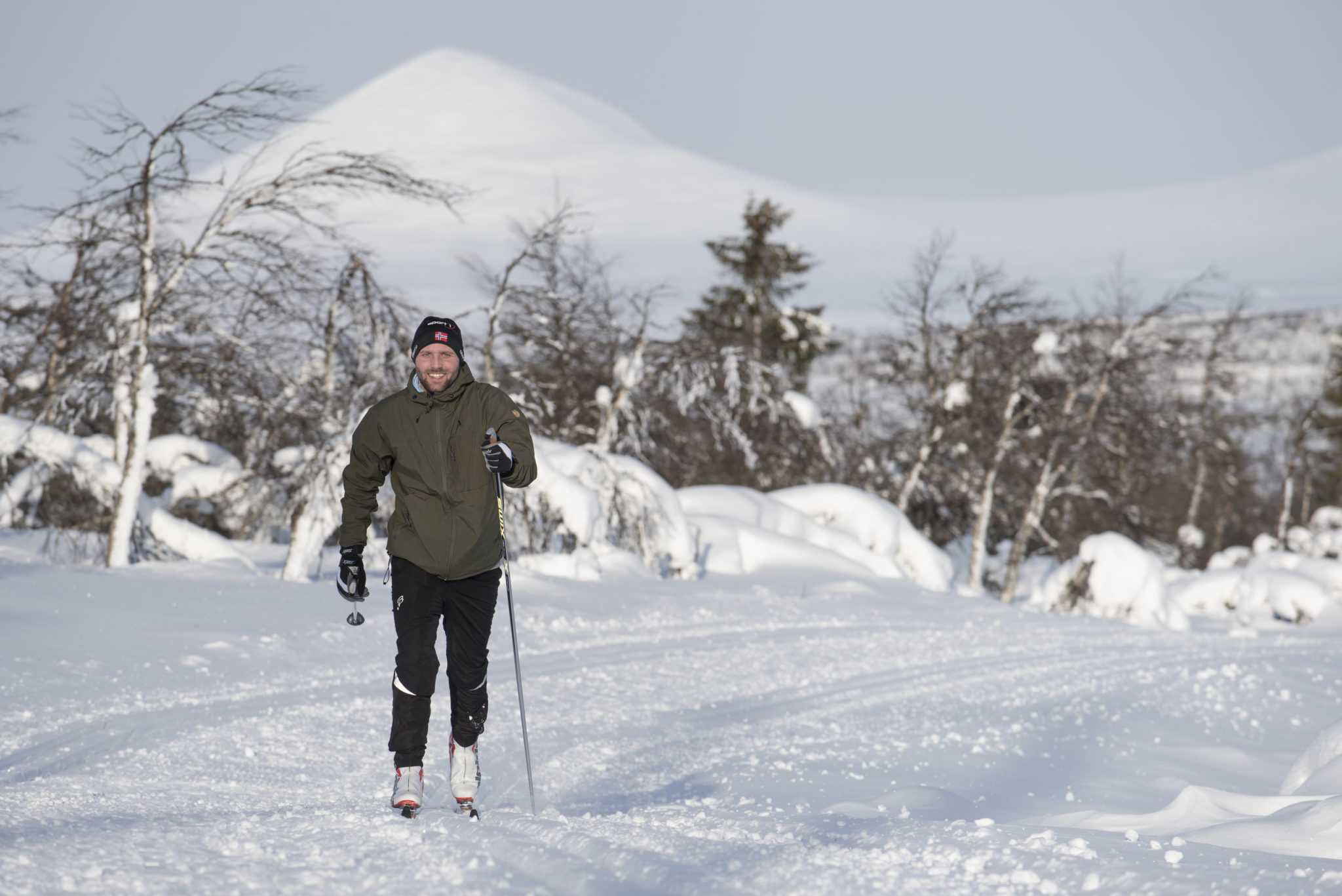
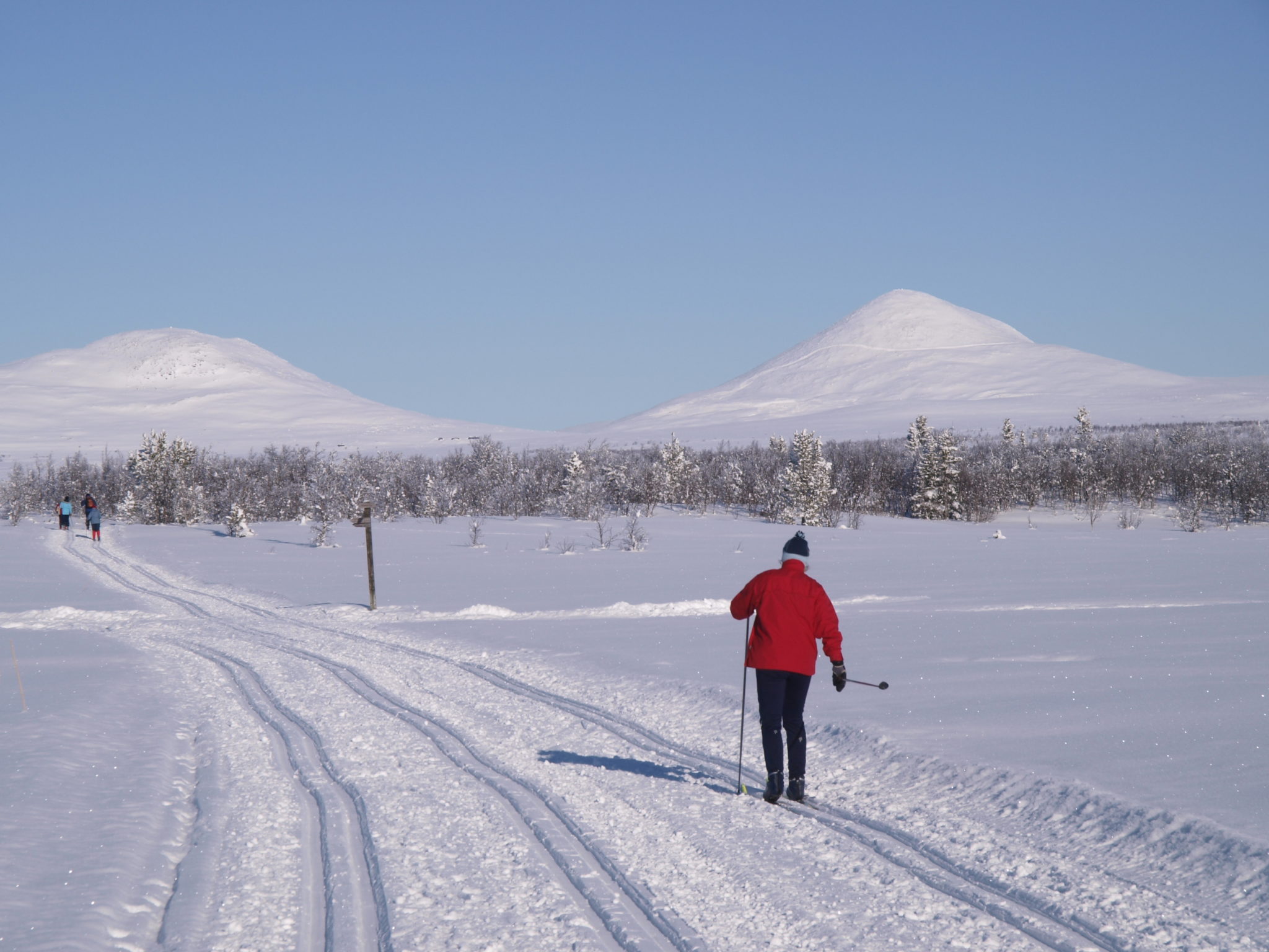
Venabygdsfjellet is a mountain area in the municipality of Ringebu. It lies between Gudbrandsdalen and Østerdalen. It has a good snow record from December to April, a stable winter climate, and fantastic ski terrain.
The Venabygdsfjellet plateau is on the southern edge of Rondane National Park, at an altitude between 850 and 1000 metres. The terrain lies partly in the birch forest belt and partly above the tree line. The mountain peaks are 1200–1400 meters and offer superb views in all directions.